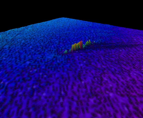
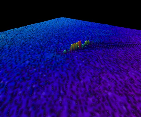
Close preview U89 U-89 — INFOMAR sonar-derived seabed survey image (not an underwater photograph).Image source and rights Identity and rights checked 2026-09-22. Matched by source identifier, agreeing vessel name and nearby survey position. Supporting collection record
INFOMAR seabed survey INFOMAR sonar-derived seabed survey. This is an underwater scan, not a dive photograph. Open full-size scan Survey identity: U-89.
Recorded water depth 56.7 m Surveyed remains Length 56 m; width 8 m. Survey reference CE03_04 · IE_GSI_MI_shipwk_ID_276 · W07703 Measurements describe the surveyed remains, not necessarily the original vessel. Depth is a survey value, not a live reading or navigation clearance.
INFOMAR loss date: 1918-02-12. Other source dates are retained above where supplied.
Open seabed survey image
Survey images are sonar-derived views of the seabed, not dive photographs.
Contains Irish Public Sector Data (Geological Survey Ireland & Marine Institute) licensed under a Creative Commons Attribution 4.0 International (CC BY 4.0) licence. Source and attribution . Original scan . Licence . Submarine · Source-reported sinking date: 1918
Protection: Not supplied. Position: Original.
Depth notes: INFOMAR recorded water depth: 56.7 m. Survey value, not a live reading..
Source: GSI Wreck Data; reference W07703; source update 2023.
Show wreck on map United Kingdom · Submarine
HMS/m A1 Source-reported sinking: 1911 · Historic England
HMS A1 in 1906, before her final sinking as a target in 1911. Read profile Quick preview Show on map United Kingdom · Remains of an English transport vessel (originally Dutch fluit in the Dutch East India service)
SCHIEDAM Source-reported sinking: 1684 · Historic England
Read profile Quick preview Show on map United Kingdom · Remains of an American paddle steamer wreck
IONA II Source-reported sinking: 1864 · Historic England
Read profile Quick preview Show on map United Kingdom · Remains of the wreck of a British Third Rate ship of the line
HMS INVINCIBLE Source-reported sinking: 1758 · Historic England
HMS Invincible, the vessel lost in 1758. Historical drawing by John Hood, dated 1747 in the museum catalogue; not a photograph. Read profile Quick preview Show on map United Kingdom · Extraordinary preservation state. The surviving length of the ship is 44 meters.
AMSTERDAM Source-reported sinking: 1749 · Historic England
Read profile Quick preview Show on map United Kingdom · Remains of an English Third Rate Ship of the Line
STIRLING CASTLE Source-reported sinking: 1703 · Historic England
Read profile Quick preview Show on map United Kingdom · Remains of a wooden warship
RESTORATION Source-reported sinking: 1703 · Historic England
Read profile Quick preview Show on map United Kingdom · Remains of an English Third Rate Ship of the Line
NORTHUMBERLAND Source-reported sinking: 1703 · Historic England
Read profile Quick preview Show on map United Kingdom · Remains of an English Third Rate ship of the line
ANNE Source-reported sinking: 1690 · Historic England
Read profile Quick preview Show on map United Kingdom · Remains of an English carrack 'Grece Dieu' and of the wreck of the Holigost
GRACE DIEU and the possible site of the HOLIGOST Source-reported sinking: 1439 · Historic England
Read profile Quick preview Show on map United Kingdom · Remains of an English East Indiaman
ADMIRAL GARDNER Source-reported sinking: 1809 · Historic England
Read profile Quick preview Show on map United Kingdom · The Tearing Ledge may be the remains of one of a number of ships: the 50-gun fifth-rate Romney and the 70-gun third-rate Eagle.
TEARING LEDGE Source-reported sinking: 1707 · Historic England
Read profile Quick preview Show on map United Kingdom · Early sixteenth-century vessel
CATTEWATER Source-reported sinking: 1530 · Historic England
Read profile Quick preview Show on map United Kingdom · Remains of a mid-sixteenth to early-seventeenth century armed cargo vessel
BARTHOLOMEW LEDGES Source-reported sinking: 1597 · Historic England
Read profile Quick preview Show on map United Kingdom · Remains of a Portuguese carrack
ST ANTHONY Source-reported sinking: 1527 · Historic England
Read profile Quick preview Show on map United Kingdom · Remains of a British galley
ROYAL ANNE Source-reported sinking: 1721 · Historic England
Read profile Quick preview Show on map United Kingdom · Remains of the offshore section of an English Second Rate warship
CORONATION OFFSHORE Source-reported sinking: 1691 · Historic England
Read profile Quick preview Show on map United Kingdom · Remains of the inshore section of an English Second Rate warship
CORONATION INSHORE Source-reported sinking: 1691 · Historic England
Read profile Quick preview Show on map United Kingdom · Remains of a Dutch armed cargo vessel
DUNWICH BANK Source-reported sinking: 1672 · Historic England
Read profile Quick preview Show on map United Kingdom · Mid-seventeenth century wreck site
SALCOMBE CANNON SITE Source-reported sinking: 1640 · Historic England
Read profile Quick preview Show on map Ireland · Submarine
U1230 Source-reported sinking: 1945 · www.uboat.net
Read profile Quick preview Show on map United Kingdom · Remains of the Henry VIII's flagship
MARY ROSE Source-reported sinking: 1545 · Historic England
Mary Rose depicted in the Anthony Roll, circa 1546. Period illustration, not a photograph. Read profile Quick preview Show on map United Kingdom · Remains of a seventeenth-century armed cargo vessel
LOE BAR WRECK Source-reported sinking: 1684 · Historic England
Read profile Quick preview Show on map United Kingdom · Remains of a British 74-gun Third Rate Ship of the Line bound from Naples to Portsmouth
HMS Colossus Source-reported sinking: 1798 · Historic England
Read profile Quick preview Show on map United Kingdom · Remains of a late 18th-century French/American ship
FILEY BAY WRECK Source-reported sinking: 1779 · Historic England
Read profile Quick preview Show on map United Kingdom · Experimental submarine
HOLLAND NO. 5 Source-reported sinking: 1912 · Historic England
Read profile Quick preview Show on map United Kingdom · Remains of a Dutch East Indiaman
The Rooswijk Source-reported sinking: 1739 · Historic England
Read profile Quick preview Show on map United Kingdom · Remains of tow wrecks: The Assurance: a 44-gun fifth frigate and HMS Pomone: a 38-gun fifth rate
THE NEEDLES SITE Source-reported sinking: 1753 · Historic England
Read profile Quick preview Show on map United Kingdom · Remains of a second Rate 'Large Ship'
LONDON Source-reported sinking: 1665 · Historic England
Read profile Quick preview Show on map Ireland · Steamship
County of Lancaster (SS) Source-reported sinking: 1901 · GSI_326
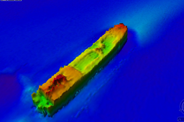
County of Lancaster — INFOMAR sonar-derived seabed survey image (not an underwater photograph). Read profile Quick preview Show on map United Kingdom · Remainsof a British Second Rate Ship of the Line
Association Source-reported sinking: 1707 · Historic England
Read profile Quick preview Show on map United Kingdom · Submarine
HM submarine A3 Source-reported sinking: 1912 · Historic England
Read profile Quick preview Show on map United Kingdom · Submarine of the German Imperial Navy
SM U-8 Source-reported sinking: 1915 · Historic England
Read profile Quick preview Show on map United Kingdom · Remains of a trawler requisitioned by the Royal Navy
Wreck of HMT Arfon Source-reported sinking: 1917 · Historic England
Read profile Quick preview Show on map United Kingdom · Remains of a coastal minelaying submarine
SM UC-70 Source-reported sinking: 1918 · Historic England
Read profile Quick preview Show on map Ireland · Schooner
Margaret & Ann Source-reported sinking: 1888 · National Monuments Service
Read profile Quick preview Show on map Ireland · Steamship
Topaz (SS) Source-reported sinking: 1891 · GSI
Read profile Quick preview Show on map Ireland · Barque
Bell Hill Source-reported sinking: 1875 · National Monuments Service
Read profile Quick preview Show on map Ireland · Clipper
Tayleur Source-reported sinking: 1854 · National Monuments Service
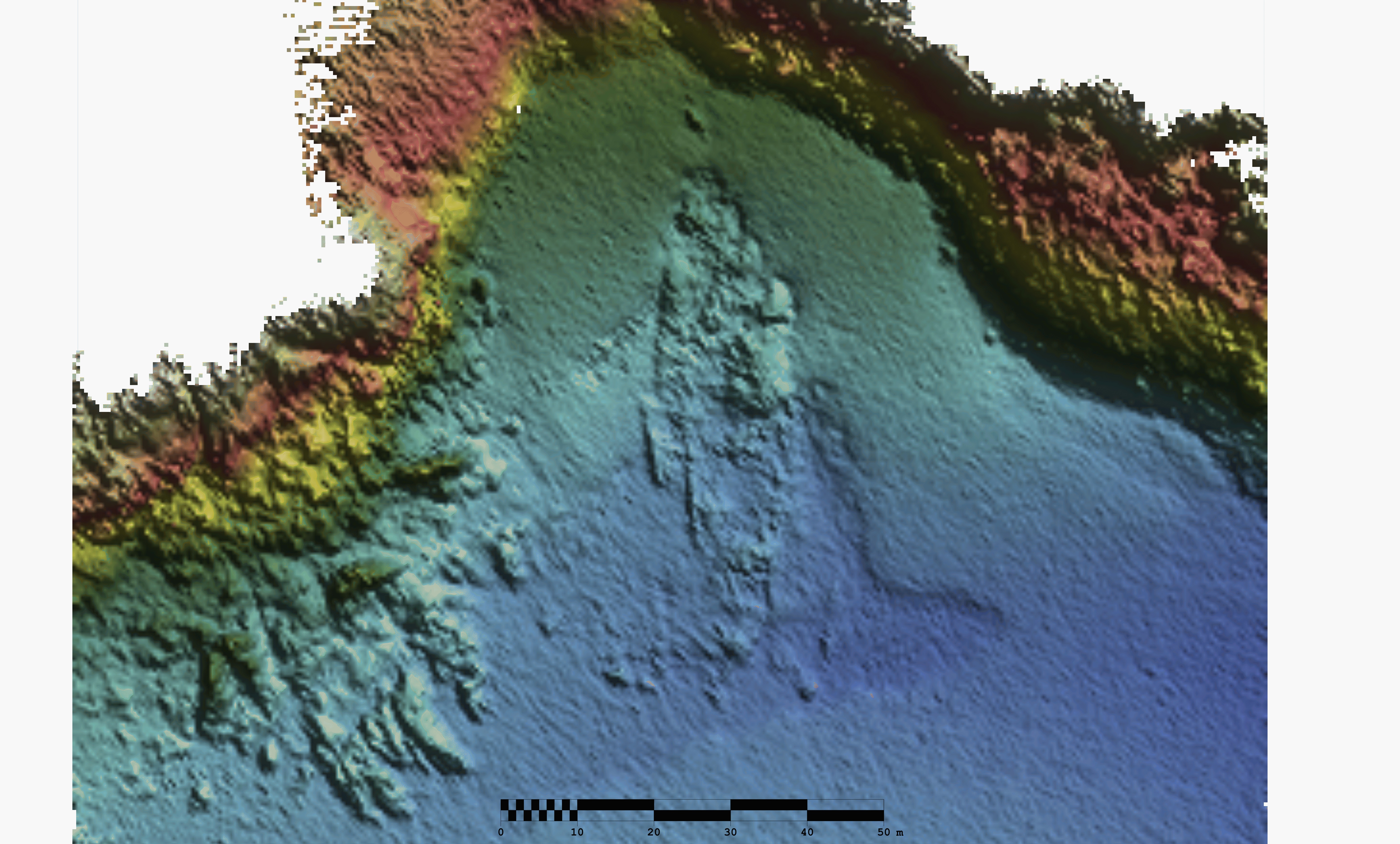
Tayleur — INFOMAR sonar-derived seabed survey image (not an underwater photograph). Read profile Quick preview Show on map Ireland · Wreck record
Unknown Source-reported sinking: 1853 · Fraser 1853 (1866), Admiralty Chart 2831
Read profile Quick preview Show on map