Explore lost vessels, recorded wreck sites, historical images and INFOMAR seabed surveys.
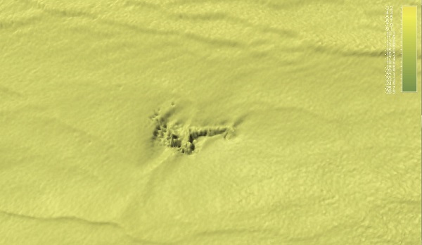
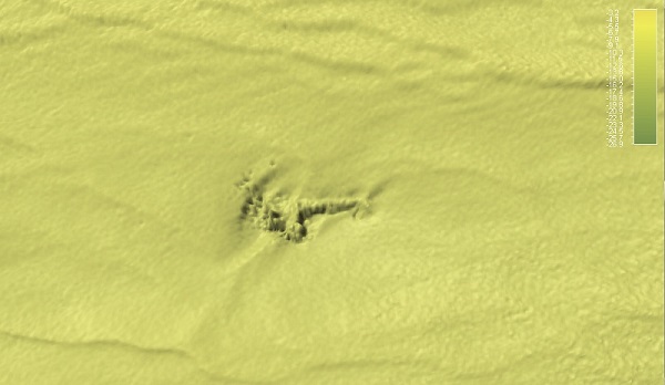
Bolivar (MV) (bow)
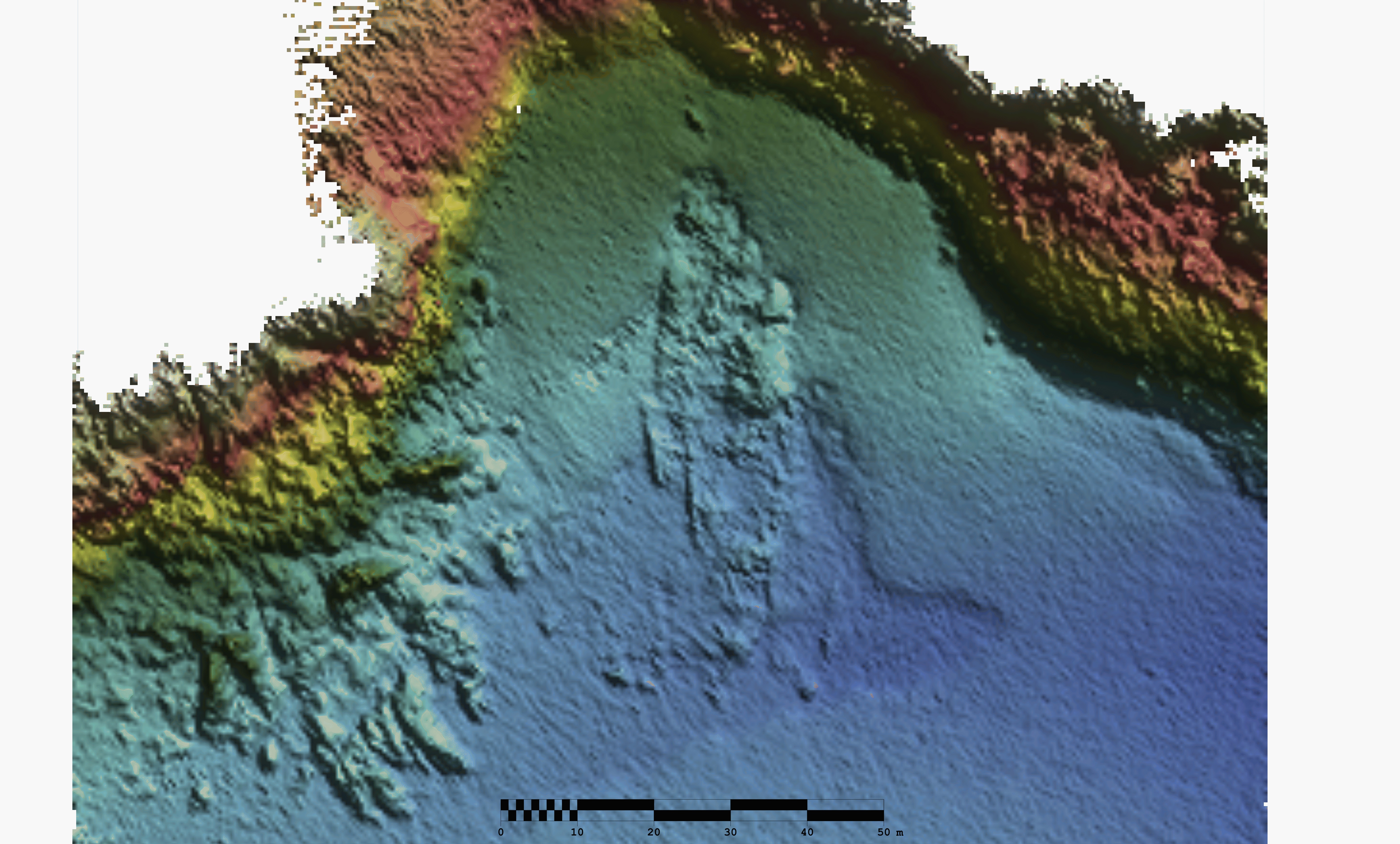
MV Bolivar bow section - INFOMAR sonar-derived seabed survey image, not an underwater photograph. Contains Irish Public Sector Data (Geological Survey Ireland & Marine Institute) licensed under a Creative Commons Attribution 4.0 International (CC BY 4.0) license. · CC BY 4.0. Image source and rights
Identity and rights checked 2026-09-24. Survey rendering visually inspected; GSI identifier, vessel name and survey position match this catalogue record. Wreck-section labels retained. Supporting collection record
INFOMAR seabed survey
INFOMAR sonar-derived seabed survey. This is an underwater scan, not a dive photograph. Open full-size scan
Survey identity: MV Bolivar (Bow Part).
Recorded water depth
7.51 m
Surveyed remains
Length 6 m; width 2 m.
Survey reference
KRY10_01 · IE_GSI_MI_shipwk_ID_279 · W09480
Measurements describe the surveyed remains, not necessarily the original vessel. Depth is a survey value, not a live reading or navigation clearance.
INFOMAR loss date: 1947-03-04. Other source dates are retained above where supplied.
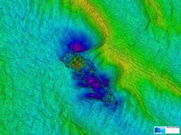
Survey images are sonar-derived views of the seabed, not dive photographs.
Contains Irish Public Sector Data (Geological Survey Ireland & Marine Institute) licensed under a Creative Commons Attribution 4.0 International (CC BY 4.0) licence. Source and attribution. Original scan. Licence.
INFOMAR seabed survey
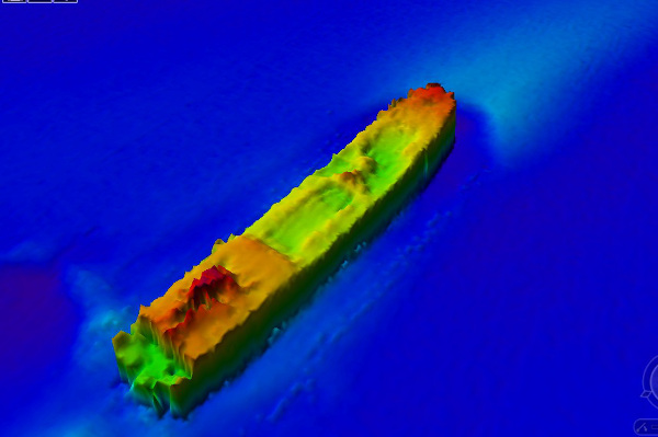
INFOMAR sonar-derived seabed survey. This is an underwater scan, not a dive photograph. Open full-size scan
Survey identity: MV Bolivar (Stern).
Recorded water depth
9.13 m
Surveyed remains
Length 84 m; width 17 m.
Survey reference
KRY10_01 · IE_GSI_MI_shipwk_ID_283 · W09480
Measurements describe the surveyed remains, not necessarily the original vessel. Depth is a survey value, not a live reading or navigation clearance.
INFOMAR loss date: 1947-03-04. Other source dates are retained above where supplied.
Survey images are sonar-derived views of the seabed, not dive photographs.
Contains Irish Public Sector Data (Geological Survey Ireland & Marine Institute) licensed under a Creative Commons Attribution 4.0 International (CC BY 4.0) licence. Source and attribution. Original scan. Licence.
Cargo Ship · Source-reported sinking date: 1947
Protection: Not supplied. Position: Original.
Depth notes: INFOMAR recorded water depth: 7.51 m. Survey value, not a live reading..