Lake Superior’s inland gateway
The harbour at the mouth of the St. Louis River supported Indigenous communities and trade long before the development of the modern Twin Ports. In the nineteenth century, fishing, timber and mineral traffic increasingly connected the sheltered harbour with markets across the Great Lakes.
The opening of the Sault Ste. Marie locks in 1855 strengthened those connections. Rail reached Duluth in 1870, and the Duluth Ship Canal opened the following year. Grain, coal and, later, Mesabi Range iron ore helped establish Duluth-Superior as a major interchange between railways and lake shipping.
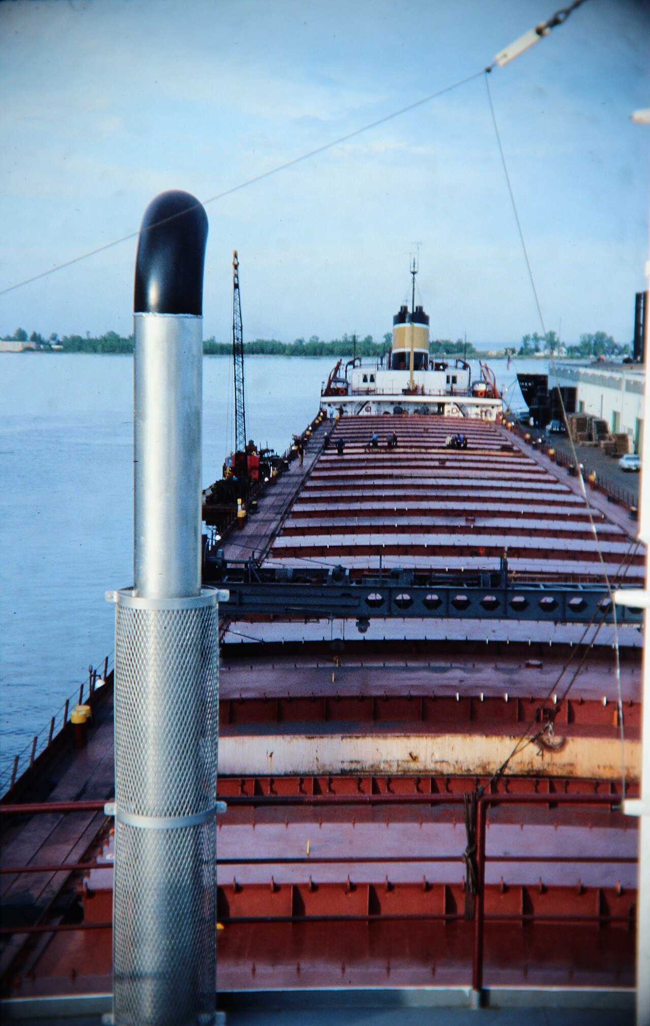
A further turning point came in 1959, when the St. Lawrence Seaway opened to deep-draft navigation. Oceangoing vessels could then reach the port from overseas, and the Clure Public Marine Terminal opened that same year. The historic photograph shows working harbour life aboard a lake freighter in 1978.