WAKEATLAS / PORTS

60 port profiles · each selection has its own shareable address

Miami

Harbour-area cameras, port facilities and nearby AIS observations.

Florida, United States

Nearby vessel reports

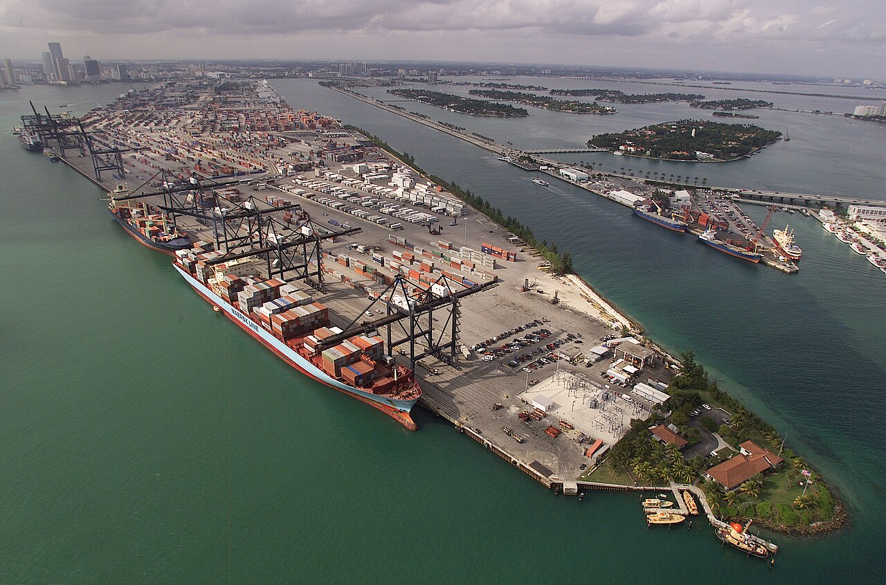
Container cranes and cargo ships along PortMiami, with Miami’s skyline and surrounding islands in the distance
Aerial view of PortMiami’s container terminals · Capture date unknown. Photograph by James R. Tourtellotte / U.S. Customs and Border Protection, Public domain (U.S. federal government work), via Wikimedia Commons. Dated photograph, not a live view.

From the Miami River to an island seaport

Miami’s maritime trade developed around the mouth of the Miami River, where a log pier existed by 1840. Henry Flagler’s companies later developed waterfront port facilities beside Biscayne Boulevard. The city bought the seaport in 1913, bringing this growing transport asset into municipal ownership.

Passenger services expanded in the 1940s with routes to Havana, Nassau and the Lesser Antilles. After Dade County acquired the port in the following decade, the search for more room led to Dodge Island. County officials announced the new location in July 1959.

Freight operations at the new island port began on 4 October 1964. The Miami-Dade Public Library’s archive account records the transfer of the old port’s operations by 1967. Later expansion incorporated Lummus and Sam Islands, helping create the combined cargo and cruise complex seen in the harbour today.

Explore the original records

Only the selected camera is loaded.

LIVE Port Miami PTZ Webcam with VHF Marine radio feed

Watch the harbour using the player below without leaving this page.

Powered by World Port Cams. Press Play to start. Camera availability and playback controls are managed by the provider; images may be unavailable or delayed. Any weather shown by the player is forecast information.

All published port profiles