WAKEATLAS / PORTS

60 port profiles · each selection has its own shareable address

Gustavia

Harbour-area cameras, port facilities and nearby AIS observations.

Gustavia, Saint Barthelemy

Nearby vessel reports

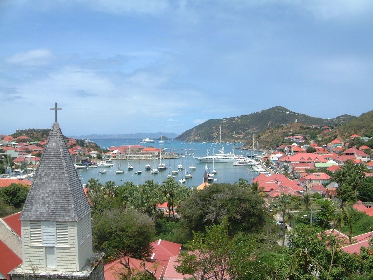
Gustavia harbour with yachts, red-roofed buildings and a church tower.
Gustavia harbour and surrounding town in 2005. · 9 March 2005 (Commons record). Photograph by GoDifferent LLC / 02Cruise.com; supplied by Evaneggers, CC BY-SA 3.0, via Wikimedia Commons. Dated photograph, not a live view.

A sheltered harbour with Swedish roots

The harbour settlement was originally known as Le Carénage, a name associated with the shelter it offered ships needing repair. Saint Barthélemy passed from France to Sweden in 1784, and the town was renamed in honour of King Gustav III.

Trade brought prosperity during the Napoleonic Wars, followed by a period of decline. The island returned to France in 1878. Fort Oscar, Fort Karl and Fort Gustav recall the importance of protecting the harbour during its earlier development.

The harbour-front Anglican church dates from 1855. Along with the forts and the town’s name, it forms part of the historical setting around the waterfront. The photograph records Gustavia’s harbour in 2005, with yachts and the surrounding town, rather than present-day vessel positions.

Explore the original records

Gustavia Port and Marina Live Webcam Streaming, St. Barts

Watch the harbour using the player below without leaving this page.

Powered by World Port Cams. Press Play to start. Camera availability and playback controls are managed by the provider; images may be unavailable or delayed. Any weather shown by the player is forecast information.

All published port profiles