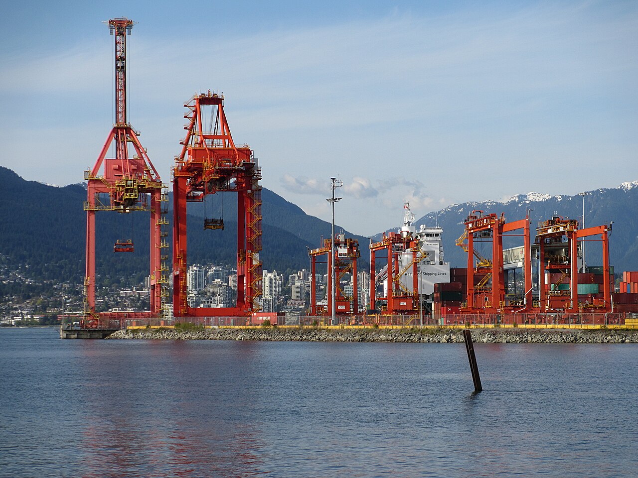
Three port authorities become one
Vancouver’s modern port administration brings together several distinct waterfront histories. Before 2008, the Vancouver, Fraser River and North Fraser port authorities managed separate areas. The two Fraser authorities traced their origins to harbour commissions established in 1913, serving river trades as well as the growing metropolitan region.
The federal government authorised their amalgamation to take effect on 1 January 2008. The combined organisation initially used the name Port Metro Vancouver, joining the harbour and river operations under a single authority. Canada Place Corporation joined the organisation in 2013.
In 2016, the port returned to the public-facing name Port of Vancouver, while Vancouver Fraser Port Authority remained the organisation’s name. This distinction matters when reading older records: the regional port is broader than the downtown harbour view shown by a single camera.