WAKEATLAS / PORTS

60 port profiles · each selection has its own shareable address

Rotterdam

From the city waterfront towards the North Sea

South Holland, Netherlands

Nearby vessel reports

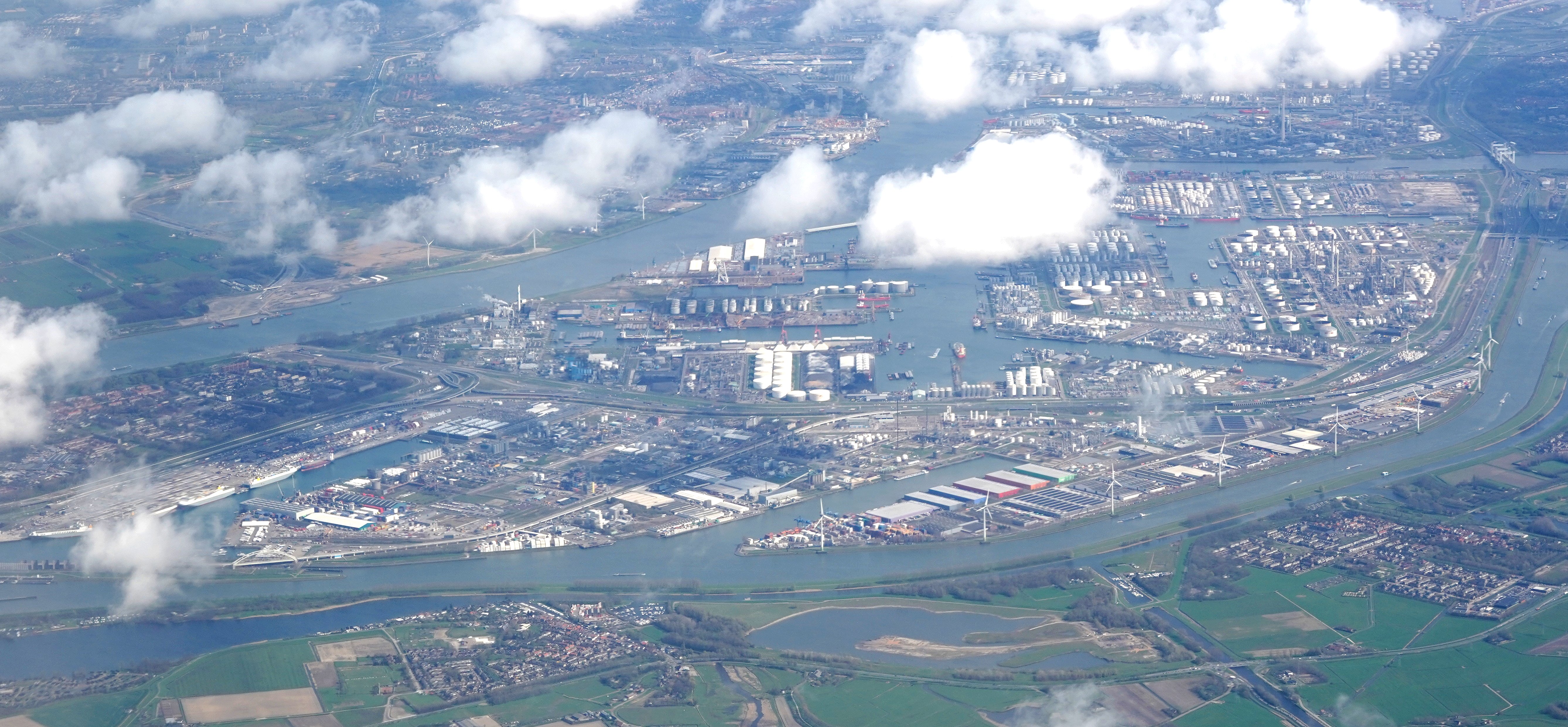
Aerial view of docks and industrial facilities in Rotterdam Europoort
Aerial view of Rotterdam Europoort · 3 April 2024. Photograph by Steve Knight, CC BY 2.0, via Wikimedia Commons. Dated photograph, not a live view.

The waterway that changed Rotterdam

Rotterdam’s expansion depended on improving its access to the sea. As ships grew, the older route through the Voorne Canal became too narrow and shallow. In 1858, an engineering recommendation led by Pieter Caland proposed a new passage through the dunes at Hoek van Holland.

The first vessel used the newly cut Nieuwe Waterweg in March 1872. Opening the route did not solve every problem immediately: further silting meant improvement continued, with the route fully in use by 1895.

The waterway supported rapid port growth alongside industrialisation in Germany. Rotterdam provided a link between the North Sea and the Ruhr’s demand for raw materials. The present port stretches beyond the historic city waterfront; the camera below shows the Amazonehaven area.

Explore the original records

Only the selected camera is loaded.

Live Amazonehaven East Webcam, Port of Rotterdam, NL

Watch the harbour using the player below without leaving this page.

Powered by World Port Cams. Press Play to start. Camera availability and playback controls are managed by the provider; images may be unavailable or delayed. Any weather shown by the player is forecast information.

All published port profiles