WAKEATLAS / PORTS

60 port profiles · each selection has its own shareable address

Puerto Williams

Harbour-area cameras, port facilities and nearby AIS observations.

Region of Magallanes and Chilean Antarctica, Chile

Nearby vessel reports

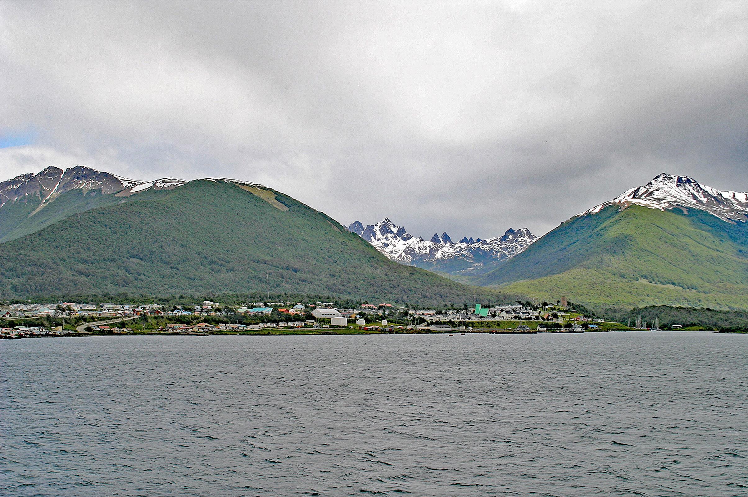
Puerto Williams waterfront beneath green hills and snow-covered peaks.
Puerto Williams waterfront viewed from the water in 2005. · 10 December 2005. Photograph by W. Bulach, CC BY-SA 4.0, via Wikimedia Commons. Dated photograph, not a live view.

A harbour on the Beagle Channel

Puerto Williams stands on Navarino Island beside the Beagle Channel, in the traditional homeland of the Yaghan people. The modern settlement was founded in 1953 as Puerto Luisa and developed primarily as a Chilean naval base. Its later name honours the naval commander John Williams Wilson.

The harbour supports fishing vessels and maritime services in the waters south of Tierra del Fuego. Alongside its naval role, tourism and support for scientific research became increasingly important from the late twentieth century.

This photograph shows the waterfront and mountain backdrop in December 2005. It records an earlier appearance of the settlement, rather than current port infrastructure or vessel activity.

Explore the original records

Tres Puentes, Puerto Williams, Cape Horn

Watch the harbour using the player below without leaving this page.

Powered by World Port Cams. Press Play to start. Camera availability and playback controls are managed by the provider; images may be unavailable or delayed. Any weather shown by the player is forecast information.

All published port profiles