WAKEATLAS / PORTS

60 port profiles · each selection has its own shareable address

Heiligenhafen

Harbour-area cameras, port facilities and nearby AIS observations.

Schleswig-Holstein, Germany

Nearby vessel reports

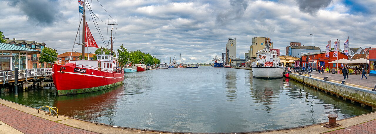
Fishing vessels and waterfront quays around Heiligenhafen harbour.
Heiligenhafen harbour panorama; resized photograph. · 24 August 2025. Photograph by Karlheinz Klingbeil, CC BY 4.0, via Wikimedia Commons. Dated photograph, not a live view.

Fishing, cargo and Baltic seamanship

Heiligenhafen’s harbour has roots in the thirteenth century. It served fishing and cargo movements along the Baltic coast and to nearby Fehmarn. Silting sometimes forced larger ships to remain outside while smaller vessels carried their goods into the harbour.

Nineteenth-century improvements enlarged the harbour and deepened its approach. The southern mole was developed between 1809 and 1834, the northern mole followed in 1838, and a western mole was added in 1870.

The town museum preserves this seafaring heritage through ship portraits and models, including vessels built at the local Tornoe yard. Its displays also remember Heiligenhafen captain Hinrich Nissen, who commanded the five-masted sailing ship Preußen. The photograph shows the harbour in August 2025.

Explore the original records

Marina Heiligenhafen and Graswarder Platform

Watch the harbour using the player below without leaving this page.

Powered by World Port Cams. Press Play to start. Camera availability and playback controls are managed by the provider; images may be unavailable or delayed. Any weather shown by the player is forecast information.

All published port profiles