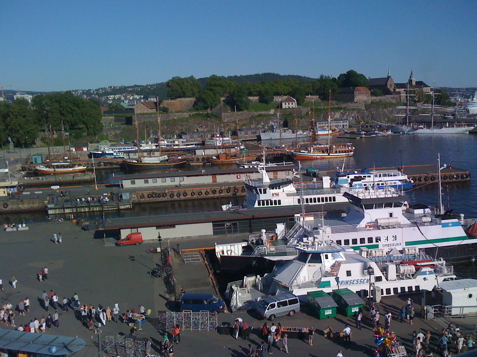
From Bjørvika to the fjord city
Bjørvika is Oslo’s oldest known harbour. Following the great fire of 1624, the town was rebuilt beneath the fortress at Akersneset, with new harbour facilities on the western side of Bjørvika. Timber exports helped sustain the city’s trade, alongside imports such as grain, salt and iron.
Port operations were regulated by law in 1735. In 1842 the harbour became a municipal business with separate finances. Steamships brought demand for stronger quays and more efficient handling; the West Railway’s opening in 1872 also increased Pipervika’s importance.
A development competition in 1897 preceded major works around Akershus Fortress between 1898 and 1911. The city’s relationship with its waterfront changed again when the council adopted the Fjord City plan in 2000, allowing former port areas to be redeveloped while concentrating cargo activity in the southern harbour.